UTEC
Survey, positioning and data management services

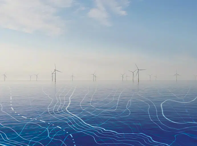
UTEC is a leading provider of survey, inspection and data management services to the energy industry using the most advanced technologies.
UTEC is one of the largest global independent surveying companies providing services across many industrial sectors including renewables, oil and gas, telecommunications, civil engineering, construction, petrochemical, and minerals. Their focus is to provide customers with high quality, cost-effective, leading edge technology solutions for offshore, onshore, and subsea project needs.
UTEC’s wide range of survey services includes offshore positioning and construction support, dimensional control surveys, geophysical and USV/AUV surveys, geotechnical sampling and consulting services, laser scanning, 3D modelling and iSITE asset management portal, offering differing levels of data interaction.
Through an expanding network of office locations including Australia, Canada, Indonesia, Malaysia, Norway, Singapore, United Arab Emirates, United Kingdom, and the United States, UTEC provides clients with local competency complemented with international resources. UTEC delivers unmatched value to their clients’ projects by having a thorough understanding of their business, developing the right survey solution to meet their requirements.
View UTEC’s terms and conditions here
UTEC products and services
Memberships and accreditations