


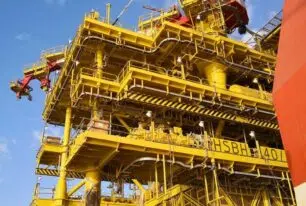
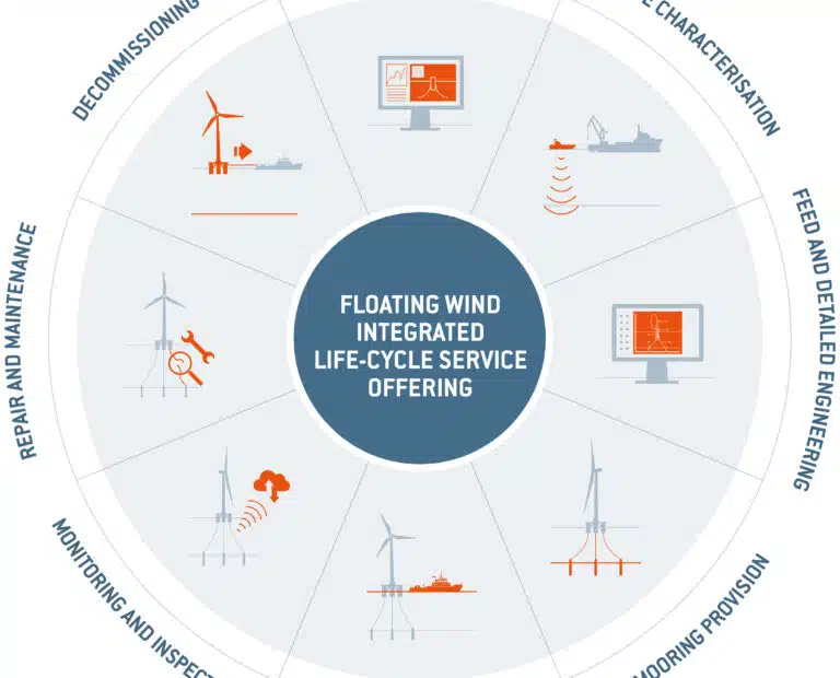
Marine surveys and site characterisation integrated solutions that optimise the design and installation of marine structures
BRANDS IN THIS SEGMENT


We transform data into critical insight to drive key design and construction decisions.
Download brochureBRANDS IN THIS SEGMENT
We transform data into critical insight to drive key design and construction decisions.
Download brochure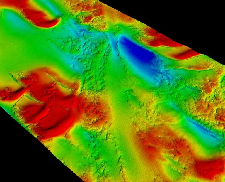
ACTEON PROVIDES CUSTOMERS WITH SUPERIOR GEO-DATA THAT HELPS THEM TO GAIN CRITICAL INSIGHTS AND MAKE BETTER-INFORMED DESIGN AND CONSTRUCTION DECISIONS
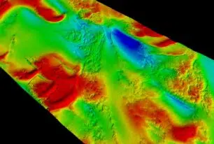
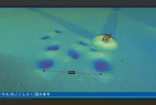
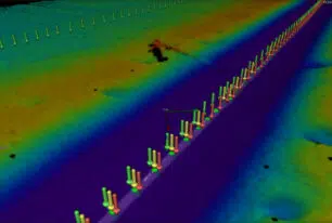
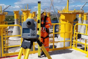
Our capabilities include engineering and consultancy services; geophysical and geotechnical site investigations; and construction survey support, including expertise in pre- and post-trenching and pipeline alignment surveys.
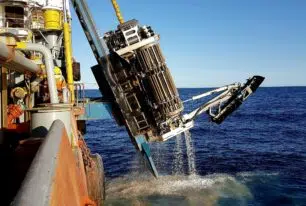
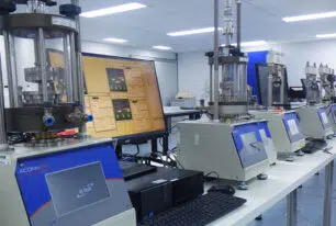
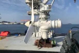
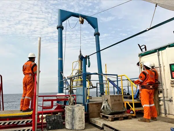
Customers benefit from our application of machine learning, remote access and advanced processing techniques. We increase productivity by using the portable remotely operated drill (PROD) system, which is the most effective in the industry. We also deploy uncrewed surface vessels (USVs) to cut the number of vessel days and personnel on board, thereby reducing project footprints.
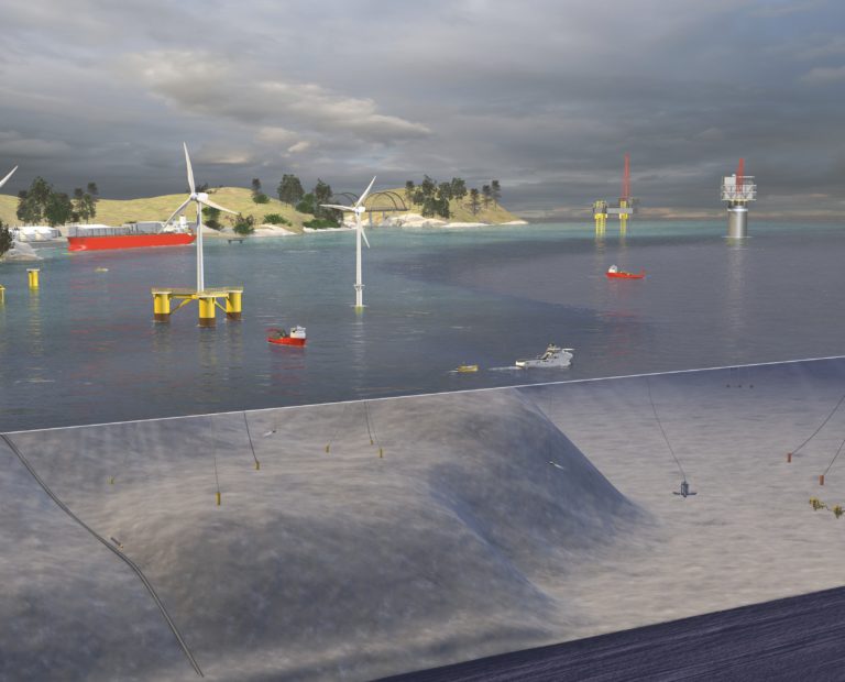
Patented Acteon technology enables us to conduct operations in water depths ranging from 20 to 3500 m. We have also developed innovative systems that extend the range of environments in which geotechnical data can be gathered.
Our specialisms
The benefits of how we work
We optimise the overall cost of the survey and reduce project footprint
We have the experience to optimise offshore operations and work with clients to challenge customer specifications; a major driver of increased survey cost.
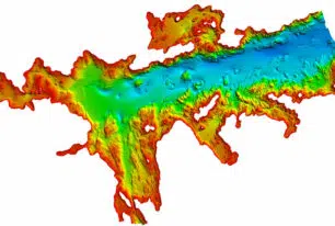
We improve efficiency and data quality through the integration of surveys
The integration of geophysical and geotechnical surveys enhances efficiency and leads to higher quality data and, ultimately, a more accurate ground model for de-risked, more cost-effective structure designs.
Delivering exceptional sample quality at all depths
We obtain high-quality seabed samples in every environment: from ultra-shallow waters inaccessible to traditional drilling systems to ultradeep waters.
Geo-services projects
Decades of experience in global geo-services projects means Acteon’s expertise is unrivalled. Explore some of our most recent case studies below.

Our geo-services brands
Acteon's Geo-services segment provides customers with superior geo-data that helps them to gain critical insights and optimise the design and installation of marine structures.
-
Benthic is a global leader in offshore geophysical and geotechnical consulting, engineering, design and data acquisition services for the offshore renewables and oil and gas industries.
-

TerraSond specialises in collecting, compiling, and identifying geospatial and geophysical information that provides the best possible solution offering the lowest risk for customers in energy markets.
-
UTEC is one of the largest global independent surveying companies providing services across many industrial sectors including renewables, oil and gas, telecommunications, civil engineering, construction, petrochemical, and minerals.
GEO-SERVICES BROCHURE
Discover more about our solutions to real customer challenges and explore our full range of services to help you achieve project efficiencies.
Latest from this segment
-
Unlocking new depths: UTEC trials AUV upgrades offshore Australia
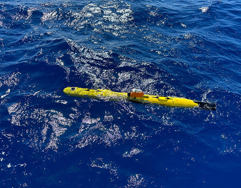 UTEC conducted a day of ‘Gavia’ Autonomous Underwater Vehicle (AUV) trials off Fremantle in Western Australia. The AUV has recently undergone significant upgrades and the...
 -
Geo data procurement: Streamlining geophysical and geotechnical surveys for offshore wind
 Developers face challenging timelines and bottlenecks when obtaining crucial geo data for offshore wind farm developments, with greater volumes of data required compared to...