-
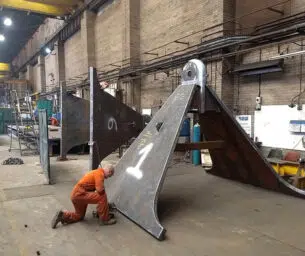
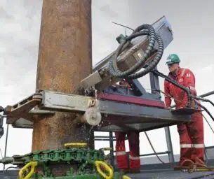
Abrasive water jet cutting
With extensive experience in specialist cutting projects and manipulator design and development, we offer a market-leading cutting solution. For the…
-
Adaptor spools
An adaptor spool is a pressure containing piece of equipment which has end connections of different nominal sizes and/or pressure…
-
Additional & replacement conductor guides
Our detailed and trusted understanding of the well conductor environment has enabled us to deliver numerous projects that extend the…
-
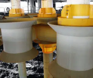
Adjustable centralizers
Adjustable conductor guide centralizers are typically fitted at the splash zone level where lateral loads are higher and tighter tolerances…
-
Air quality permitting & compliance

In-depth knowledge of drilling and production operations makes Acteon uniquely qualified and effective in ensuring clients' compliance with the increasing…
-
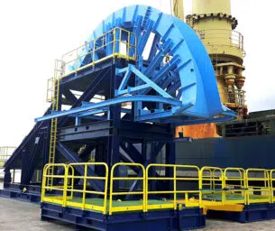
Anchor & SEPLA fabrication & installation
When introduced in 1997, the patented SEPLA system was a revolutionary concept in deepwater mooring. The combination of two proven…
-
Ancillary equipment hire
To get the most from Acteon, clients are encouraged to involve them as early as possible in their projects to…
-
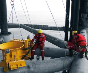
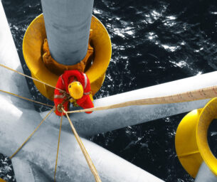
Anode testing services
Acteon is a recognised leader in the field of offshore and marine cathodic-protection systems. Deepwater are unbiased, competent third-party testers…
-
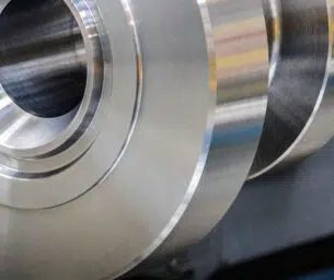
API 6a flanges
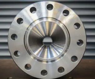
High pressure and swivel flanges to API standards. The products are customisable through means of size and pressure ratings and…
-
API 6a hubs & clamps
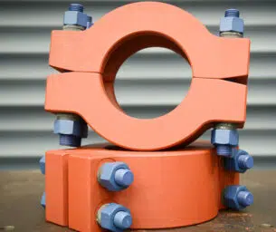
Product and service line brand, Probe, are highly experienced at manufacturing hubs and clamps and their team can advise on…
-
Asset integrity management
Acteon provides survey and inspection services to facilitate the project management, planning and execution of asset integrity management activities.
-
Asset management
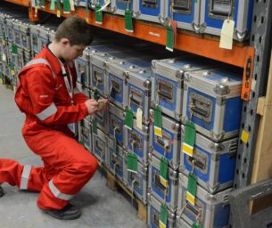
Owning in excess of 9,000 assets over four dedicated global bases, Acteon is adept at asset management; it is core…
-
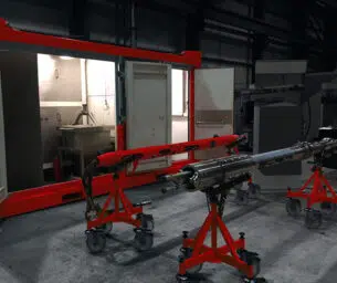
Bandsaws
Surface bandsaws include the tubing bandsaw, RAPIER™ bandsaw, and lay flat bandsaw together with accompanying tooling these can all be…
-
Bathymetry survey
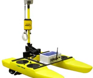
We conduct bathymetric surveys using an echo sounder attached to a survey vessel. We can utilise uncrewed survey vessels to…
-
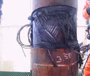
Bespoke centralizers
Acteon have developed new designs and methodologies for the centralization of conductors for new developments as well as for retrofitting…
-
Bespoke remedial solutions
Acteon has a multi-disciplinary team and in-depth equipment knowledge, allowing them to provide integrity engineering services for all types of…
- Acteon Home
- Industries
-
Divisions
-
Data and Robotics
-
Electronics and tooling

Brands in this segment


-
Geo-services
Brands in this segment


-
Structural monitoring
Brands in this business unit
 Engineering, Moorings and Foundations
-
Advanced Systems Engineering

Brands in this segment


-
Marine Foundations
Brands in this segment


-
Moorings and anchors
Brands in this segment

 Energy Services
- Corrosion Management
-
Cutting and decommissioning

Brands in this segment

-
Energy Resourcing
Brands in this business unit

- Flex-lay and Retrieval
-
Electronics and tooling
- Products & Services
- Integrated Solutions
- About Acteon
- Contact us