


END-TO-END SUPPORT FOR ACCURATE AND TIMELY GEOPHYSICAL SURVEYS, INCLUDING SURVEY DESIGN, EXECUTION AND DATA INTERPRETATION.
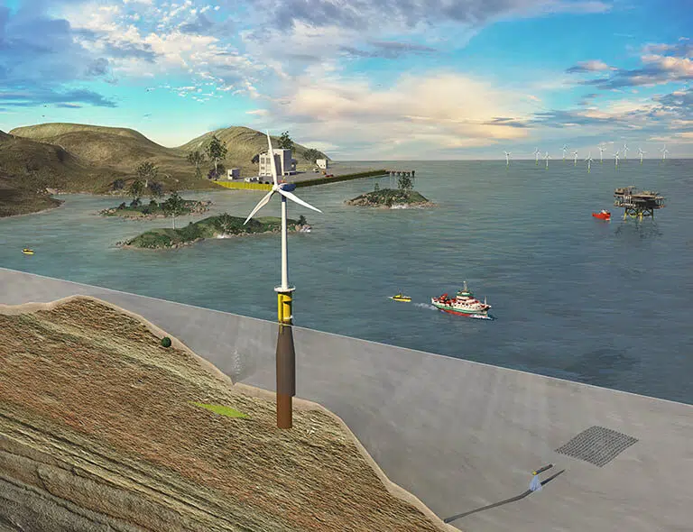
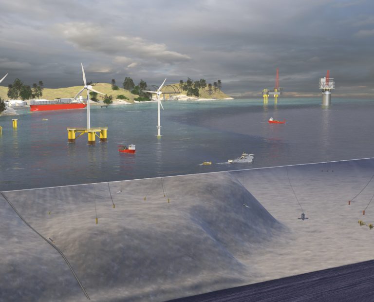
Accurate and timely seabed geophysical surveys are essential to the cost-effective design of marine structures and subsea installations. Acteon delivers business-critical data using the most advanced sensors and data recording systems. The acquisition and processing of high-resolution geophysical data ensures accurate site characterisation and enables customers to manage fundamental data over a project life cycle, thereby driving cost out of offshore planning and construction.
We increase survey speed and cost-effectiveness by doubling down on data production by using autonomous surface vehicles (ASV), unscrewed surface vessels (USV), and autonomous underwater vehicles (AUV).
Delivered by TerraSond
TerraSond specialises in collecting, compiling, and identifying geospatial and geophysical information that provides the best possible solution offering the lowest risk for customers in energy markets.

Integrate this product
Acteon can also offer an integrated project management service. This involves managing the activities of one or more of our companies on a customer’s behalf and providing a single point of contact for all aspects of project management.
GEO-SERVICES BROCHURE
Discover more about our solutions to real customer challenges and explore our full range of services to help you achieve project efficiencies.
SIMILAR PRODUCTS AND SERVICES
-
We efficiently collect data, conduct analysis, and report for Alarp UXO certification to...
-
Acteon's services reduce the uncertainty in as-built asset conditions, and also verify...
-
Our metocean equipment and survey services are fully integrated to support projects in...
-
Ground-penetrating radar provides the critical subsurface information of soil structure...