Positioning (Sat/GPS/Dynamic)
Return to PositioningSearch products
X Products selected
Acteon Equipment sales & rental Electronics & Tooling PositioningPositioning (Sat/GPS/Dynamic)
Search products
X Products selected
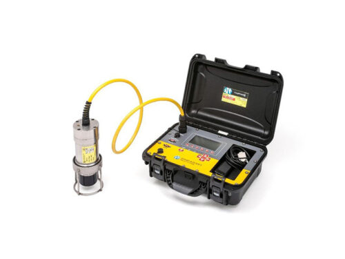
The Ranger/Command 3510 PAM Portable, has been developed to meet the harsh operating conditions associated with offshore marine operations.
Applied Acoustics 3510 PAM Portable is housed in a water-proof rugged enclosure with a clear LCD display and splash-proof keypad for on-deck operations.
The 3510 PAM has been designed to be a versatile tool for multi-transponder configuration and testing, plus on-deck release beacon and acoustic telemetry operations.
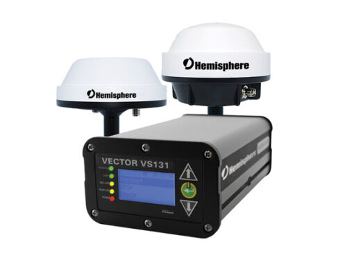
Enhanced GNSS heading and positioning technology with GLONASS. Precise marine and land applications demand the heading and positioning performance of the Vector™ VS131™ receiver making it ideal for professional machine control and navigation applications in any environment.
Enhanced GNSS heading and positioning technology with GLONASS. Precise marine and land applications demand the heading and positioning performance of the Vector™ VS131™ receiver making it ideal for professional machine control and navigation applications in any environment.
The Vector VS131 utilizes all of the innovations of Hemisphere GNSS’ Crescent® Vector technology, offering a series of features to the Vector VS131 including heave, pitch, and roll output.
The Vector VS131 receiver, with its display and user interface, can be conveniently installed near the operator. The two antennas are mounted separately and with a user-determined separation to meet the desired accuracy. The Vector VS131 is L-Band DGNSS (VBS), Beacon, and SBAS capable for differential GNSS positioning. Our MFA DGNSS patented technology allows the VS131 to smoothly transition between DGNSS systems.
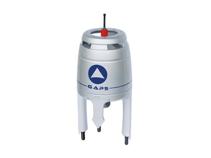
The iXBlue fourth-generation pre-calibrated GAPS combines high performance ultra-short baseline (USBL) and a fiber-optic gyroscope (FOG) inertial navigation system (INS) in the same housing to provide accurate position of any subsea object, in diverse and challenging environments.
Its compact and all-in-one design allows both portable and permanent installations with iXBlue and third party acoustic transponders. One of GAPS key new features is support of dynamic positioning (DP).
• Pre calibrated
• 4,000 m range, accuracy 0.2% of the slant range*, 200 deg coverage
• All-in-one system, simple to use
• Provides absolute position as well as surface GPS-robust position
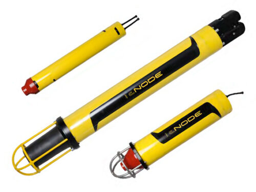
The Kongsberg cNODE transponder family consists of the models Maxi, Midi and Mini.
Kongsberg cNODE is a family of transponders for underwater acoustic positioning and data link.
The transponders operate together with both HiPAP®, HPR and cPAP® transceivers. cNODE® utilises Cymbal® acoustic protocol and is compatible with the HiPAP®/HPR 400 channels and telemetry. cNODE® is designed to cover a large range of applications and this is made possible by the modular design and a variety of different transducers, internal and external sensors, housing materials and other add-on functions.
cNODE® is easy to set-up, operate and maintain. Both new configuration and software can be downloaded from TTC 30 without opening the transponders. The floating collar and release design make the launch/recovery operation safe and easy. Spare parts for cNODE® are based on the main modules.
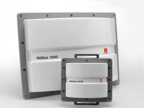
Radar based relative positioning sensor.
RADius is a high performance radar-based relative positioning reference sensor. The sensor is developed for use in offshore applications in need of high accuracy range and bearing measurements. The RADius solution is based on years of experience and knowledge in offshore applications, and developed to secure safe and efficient operation in an dynamic environment.
RADius is developed for applications in need of a robust and reliable relative positioning system. Many applications can benefit from RADius in operations, as there are different types of retroreflective transponders, and different types of innstallation of the sensor heads, (Interrogators).
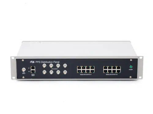
The RTS PPS distribution panel is the key solution for distributing GPS timing signals to survey spreads. It can be used to distribute one or two separate timing telegrams together with PPS pulse.
The system consist of two RS232 splitters combined with three PPS pulse splitters. Selectable PPS pulse width, 500us, 1ms or directly from the GPS. Selectable PPS trigging, positive or negative edge. Typically used for time synchronisation of logging systems and multiple sensor synchronization.
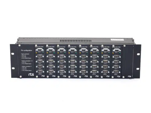
Multichannel distribution panel for RS232 data communication. Commonly used in the maritime, survey and ROV industry. Simplifies and makes a well-arranged interconnection between RS232 sensors and multiple computers.
The panel allows up to eight different sensors to be interfaced up to four different computers, each. Data traffic indicators and magnetic isolation on each input channel. Solves problems with differences in ground potentials and also acts as a signal amplifier and cable extender.
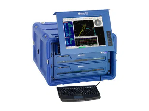
The Data Fusion Engine is the heart of the system and is an integrated PC and navigation controller used to interface peripheral equipment such as GPS and attitude sensors, in addition to providing dedicated interface and power to transceivers.
This ‘one-box’ solution is designed to meet a complete onboard hardware requirement for any acoustic operation, thereby eliminating the need to install and set-up separate systems to provide for any acoustic positioning operation.
Fusion USBL Software Fusion USBL software is a Windows based package that is responsible for collecting, processing, displaying and recording acoustic and associated data.
Fusion USBL software offers flexibility and ease of operation to a whole host of offshore positioning scenarios.
Based on core acoustic principles and software modules Fusion USBL builds to provide a user interface that will guide the operator through set-up, calibration and into tracking.
All data is available both graphically and alpha numerically and is stored for later analysis and replay if required. Many tools are provided to assist in the optimisation of the system to operate in difficult environments.
